3. How is IRIS operated
3.1. IRIS orbit
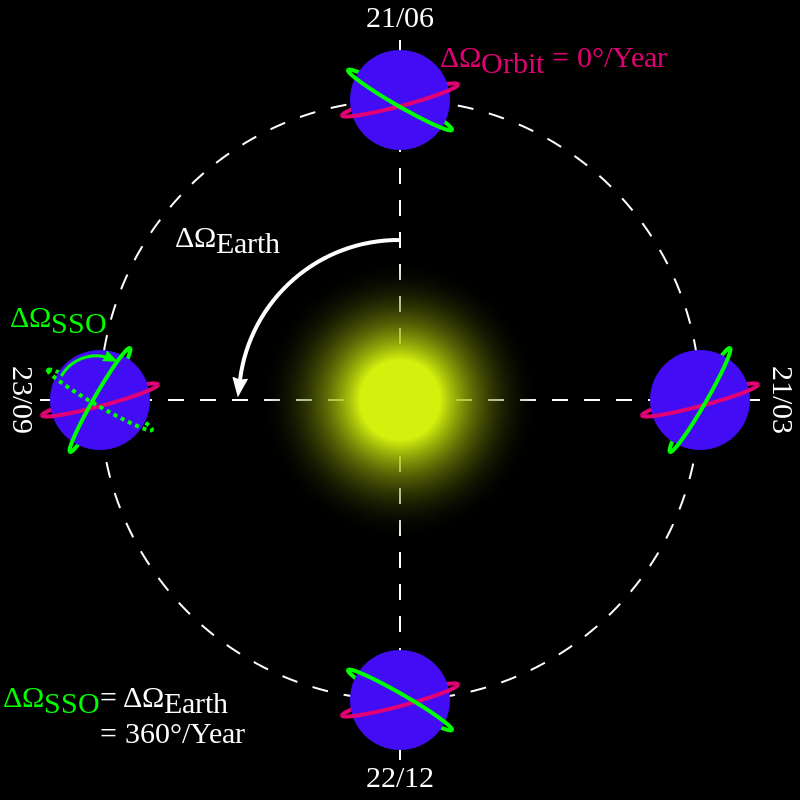
IRIS is in a polar, sun-synchronous orbit with 98 degree inclination and a height of \(620 \times 670\) km to maximize eclipse-free viewing. The IRIS orbit is similar to that of TRACE and Hinode and allows for 7-8 months of continuous observations per year, with strong atmospheric absorption occurring during the November-February time frame when the Sun is seen by IRIS at heights below \(\sim 200\) km (FUV) and \(\sim 50\) km (NUV) above the Earth’s surface. Between the end of October and mid February of each year, IRIS is in eclipse season. Observations are interrupted during each orbit so that solar observations can only be performed for about 60 minutes out of every 97 minutes.
3.2. Data rate and downlink
IRIS data are being downlinked to X-band antennas in Svalbard, Norway (about 9 passes/day), Alaska (about 3-4 passes/day) and Wallops (around 1-2 passes/day). IRIS has a high average data rate of 0.7 Mbit/s, or about 60 Gbits/day. Data (nominally 12 bits/pixel) are compressed onboard using Rice compression, to about 3-4 bits/pixel. Onboard memory is 48 Gbits, allowing storage of more data-intensive observing sequences that can be downlinked over the course of several orbits.
3.3. Baseline operations
The high data rate, short exposure times, and flexible rastering schemes allow rapid scans of small regions on the Sun at very high spatial resolution of the order of 0.33-0.4 arcseconds. The baseline cadence is 5s for slit-jaw images and 2-8s for 6 spectral windows of strong, bright lines.
IRIS rastering of spectra is accomplished through scanning of the active secondary mirror (by driving the PZTs). The flight software allows for:
- Dense rasters: step size of the raster is equal to the slit width (0.33 arcsec);
- Sit-and-stare (fixed slit mode): no rastering;
- Sparse rasters: step size of each raster location is larger than the slit width, i.e., 1 arcsec.
- Coarse rasters: step size of the raster is 2 arcsec.
The sparse raster option allows rapid scans of much larger areas, which can be used, for example, for flare or CME watch programs.

Some example raster modes of IRIS spectra: dense raster (left panel), fixed slit (sit-and-stare, middle panel) and sparse raster modes (right panel). When the typical exposure times of the order of 1s are used, rasters of 4-40 arcsec wide can be obtained within 10-30s. Solar rotation tracking is also available for any of these options.
IRIS is operated in a manner that is similar to TRACE and Hinode, with observing programs uploaded 5 times per week, and the data made publicly available within a day of the observation. IRIS operates in full coordination with instruments onboard Hinode and SDO.
IRIS has a special focus on coordination with ground based observations that obtain chromospheric spectral line profiles over a large field of view. This close coordination enhances the data set used for scientific investigation.
3.4. Operations under roll conditions
The nominal direction of the IRIS slit is parallel with the solar north-south direction (roll angle=0 degrees). However, IRIS is capable of operating with the spacecraft rolled at an angle between -90 and +90 degrees from solar north. This allows for observing programs in which the slit is parallel with the solar limb at any position along the limb (from equator to the poles). Operations under rolled conditions have two operational impacts that affect their timing and duration:
- Reduced downlink data rate, caused by directional X-band antenna no longer pointing straight down to Earth for non-zero roll angles. This means that for some stations/seasons significantly shorter downlink passes are available and high data rate operations can only be maintained until the onboard memory is filled.
- Certain roll angles are forbidden twice per month (first/last quarter of the Moon) because they can lead to a situation in which neither of IRIS two star trackers is free from Earth and/or Moon.
